—
by Joris Starke, Robert Busch, and Fabian Becker
As part of the 2024 joint fieldwork of the physical geography groups of Freie Universität Berlin and Ege Üniversitesi, we went out for (geomorphological) mapping. Together with colleagues from archaeology, we had a successful time in the eastern lower Bakırçay plain, searching for remains of the “old” Bakırçay River.
The Bakırçay River (ancient Kaikos) did not follow a straight line, as recent maps and Google Earth show (Figure 1), neither during the Hellenistic and Roman periods, nor during the early days of the Pergamon excavations. The early maps and travel reports of the excavators and visitors to Pergamon give a very different picture of the Bakırçay to that of the modern river, adapted to the needs of irrigated agriculture and flood control (Figure 1).
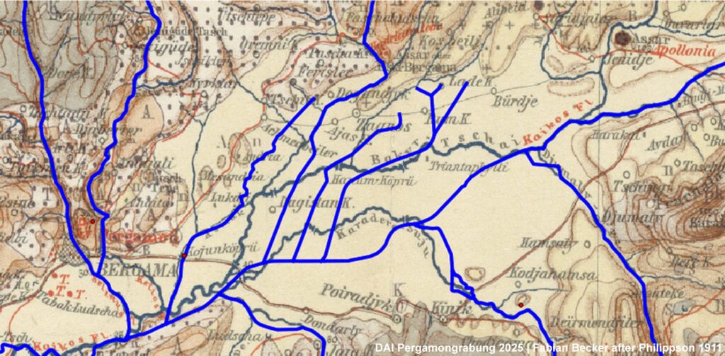
Therefore, a major focus of our mapping was on any fluvial and hydrological features that would help us better understand the hydrological situation of the eastern lower plain. We were particularly interested in eventual branches of the Bakırçay River as well as superficial springs. In addition, we inspected distinctive elevations in the otherwise flat alluvial plain, as they may contain evidence of ancient river terraces or settlement mounds. Previous findings from sediment analysis and archaeological work in the region were also taken into account, as well as evidence from parcel boundaries.
We aim to reconstruct the fluvial planform of the major rivers in the Pergamon Micro-Region. Whether a river is straight, braided, anabranching, meandering, or has a gravel or sand bed, is important to understand the stability of the river course and the risk of flooding to nearby settlements. As we know from ancient rivers in the Aegean region, flooding and flood management were not only contemporary issues but also concerned the ancient populations of western Anatolia.
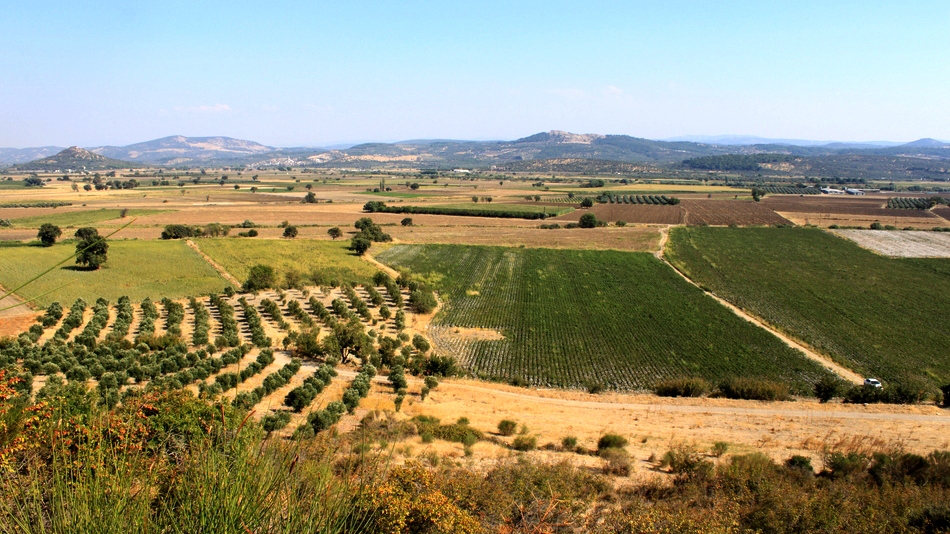
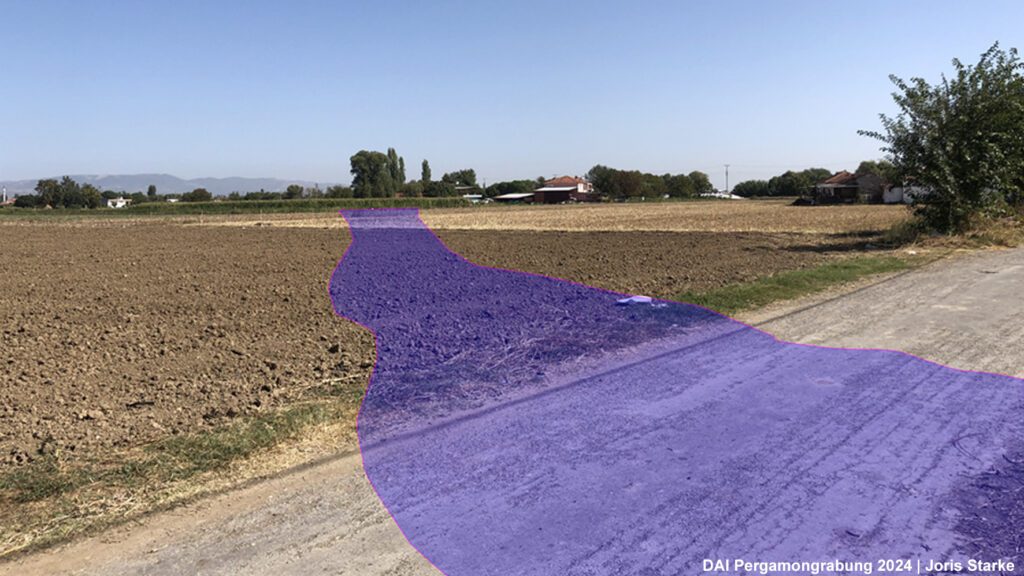
Our reconstruction of the channel planform converges with other approaches in the TransPergMicro project, such as the reconstruction of the road network and settlement patterns, as well as the agricultural use of the plain. Despite intensive agricultural use and the strong influence of modern land reclamation and consolidation activities, structures such as cut banks and old drainage channels are still recognizable. The latter have often been reused as unpaved roads or paths (Figure 2).
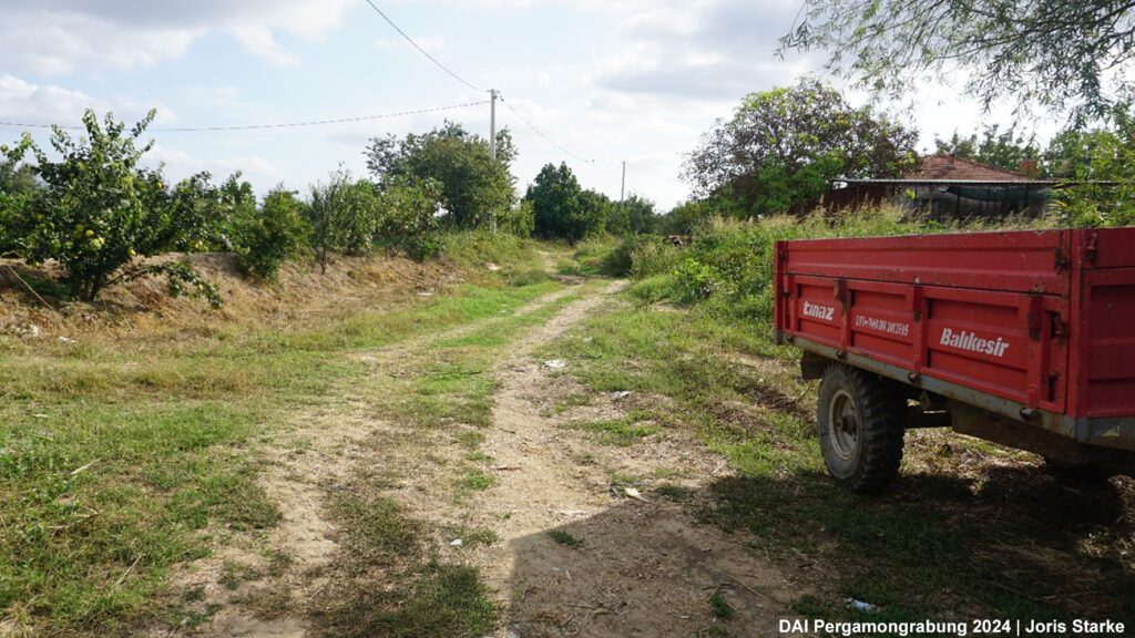
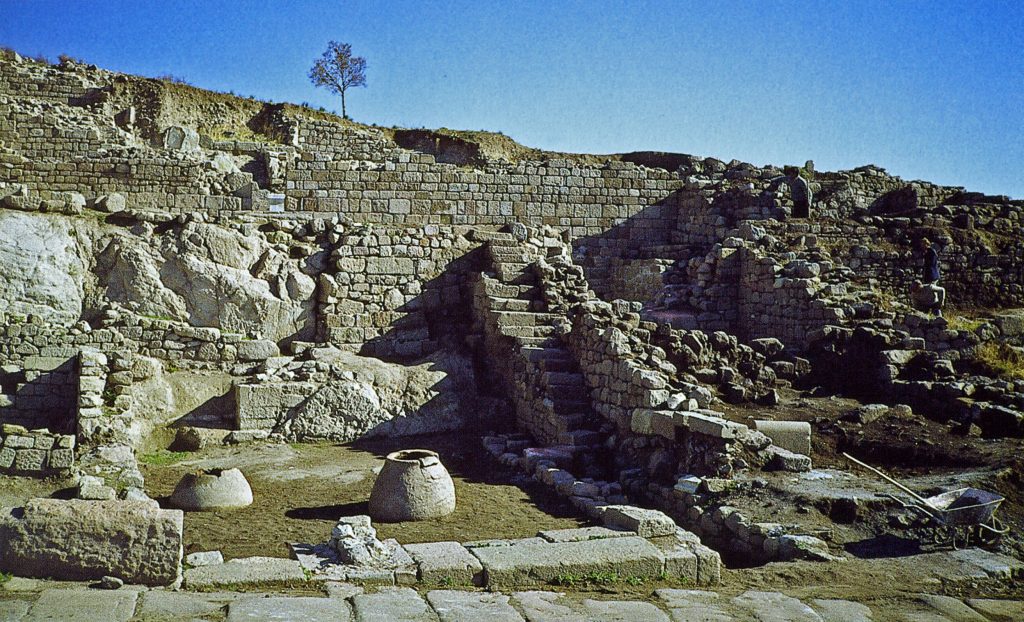
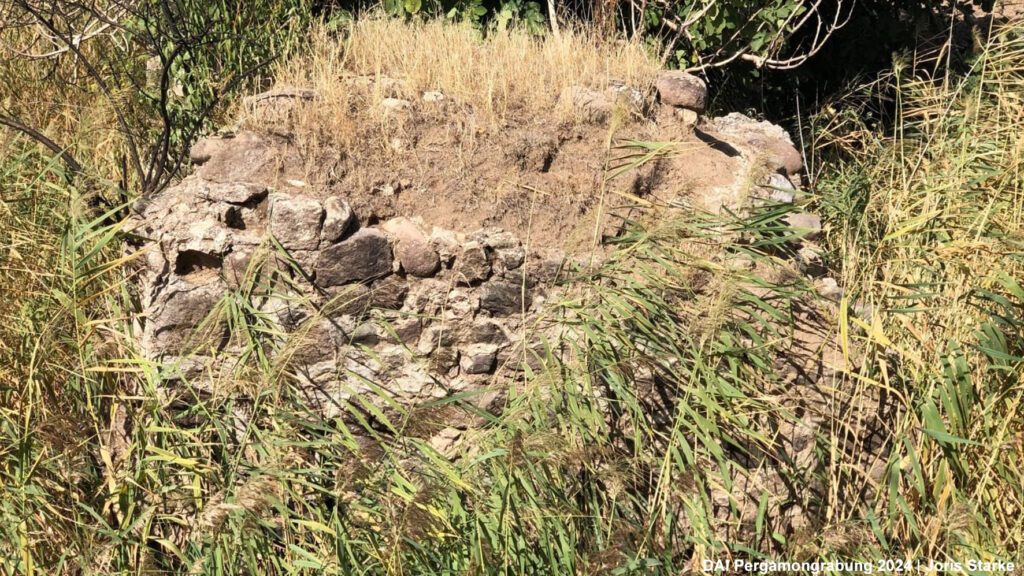
During mapping, we frequently met local farmers who could provide us with helpful information about alterations of the landscape, such as changes in river courses (Figure 3), as well as the remains of historical and modern bridge structures that are difficult to trace today (Figure 4). Bridges or their remains are important finds for this work, serving as confirmation and age estimation of the associated channel. For the latter, archaeological expertise and input is very valuable, emphasizing the importance of interdisciplinary work. Similarly, new archaeological sites and finds were discovered during the fieldwork.
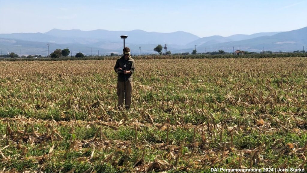
Our field mapping was complemented by measuring cross-profiles through the former course of the Bakırçay, as seen on old maps and satellite imagery. A modern GNSS device was used to map changes in the relief at the centimeter scale. In addition, drone photogrammetry was used to generate a high-resolution digital surface model of a section of the former course of the Bakırçay (Figure 5).
Finally, we unpacked our vibracorer – adding some insight into the subsurface to the detailed surface information. In this way, we can understand not only the planform of the river channel over the last few centuries but also the river dynamics in the Holocene, i.e., during the Hellenistic and Roman periods. Although the interpretations of the sediment descriptions and the laboratory analyses, as well as the radiocarbon dating of the samples, are still in progress, preliminary results already provide information about the possible lateral stability of the Bakırçay River course over longer periods.
We are now looking forward to presenting a more detailed image of how the Bakırçay could have looked like in the past in the near future.

